Project Description
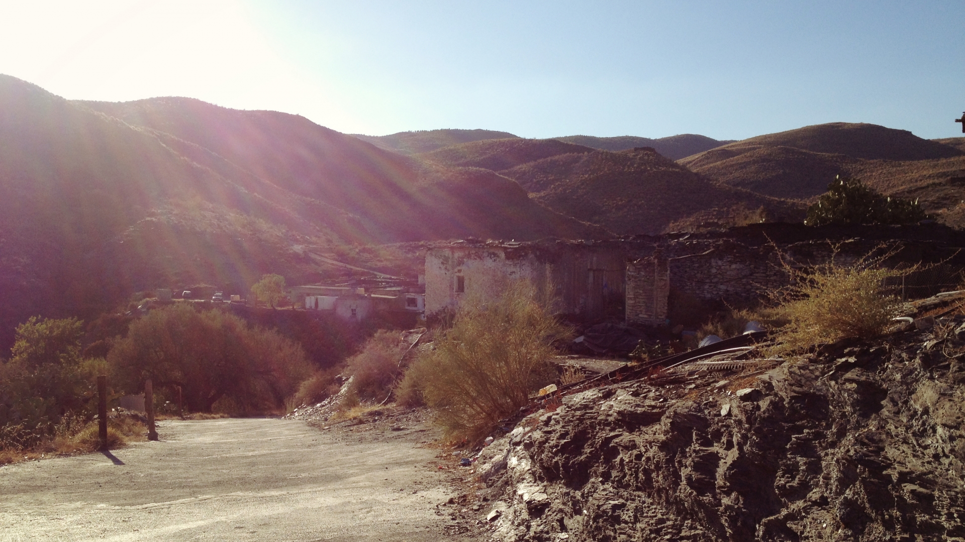
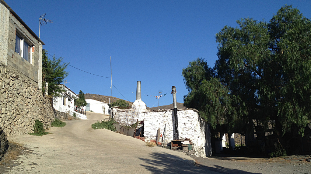
 Arroyo Verdelecho is a hamlet of Gérgal that is about 8 km from the center of the town.
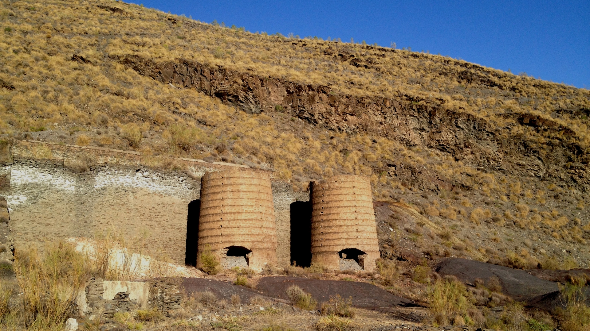
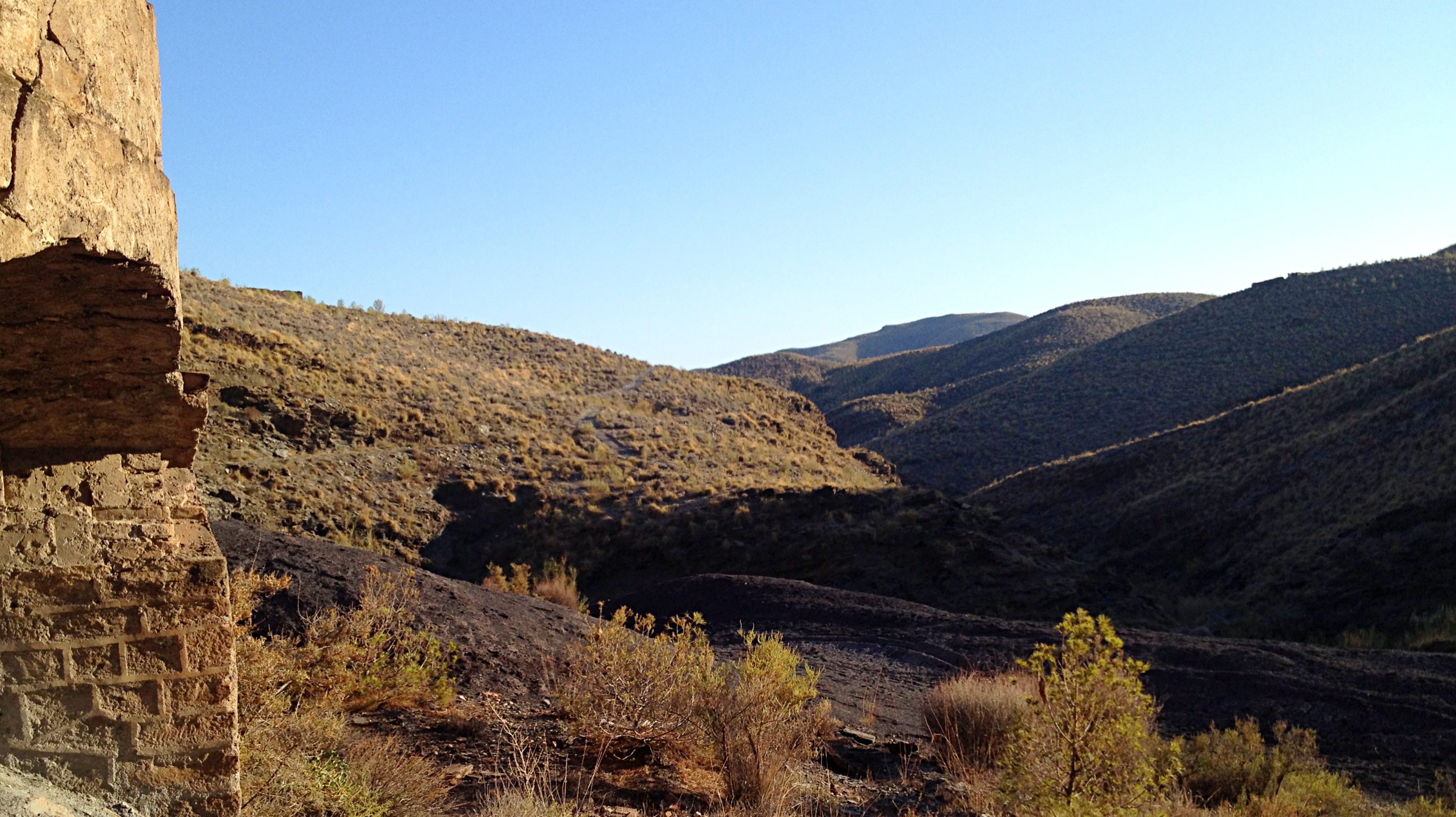
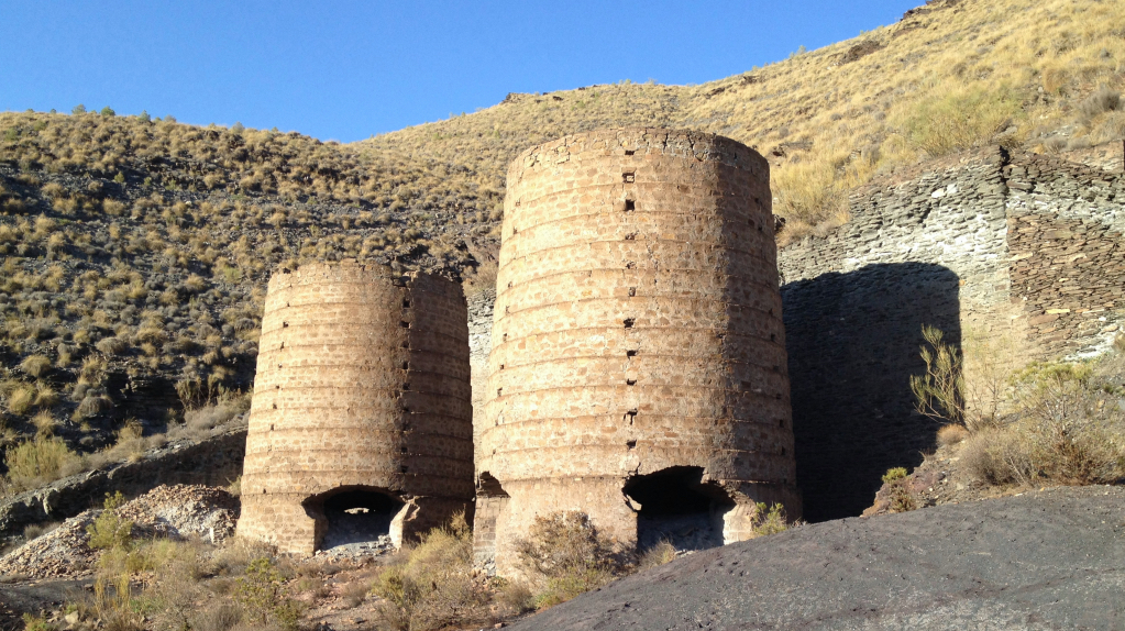
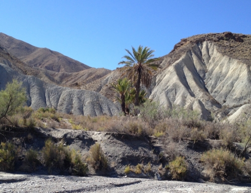
The route starts in Gérgal (at 730 m altitude) along the paved road that goes up towards Olula de Casto. After a kilometer of ascent by this road, our route deviates to the right in the crossing of the industrial polygon, by a dirt road that takes to the Arroyo Verdelecho. The road gains height up to 890 meters to descend vertiginously to reach into the rambla (dry river) of Arroyo Verdelecho (670 m altitude). When we get to the rambla we turn to the left by the dry river conditioned for the circulation of the offroad cars of the locals who have farms and estates in this neighborhood. We continue climbing the rambla whose technical difficulty to keep us without getting on the ground increases after passing the inhabited farmhouses, it is even changing depending on the whim of the water that sometimes goes down torrentially through this ravine and if we keep climbing we will arrive at Olula de Castro. A couple of kilometers above the inhabited farmhouses we find the iron smelting furnaces (740 m altitude), the end of our beautiful route. This route is round trip so we will have to return by the steep slopes that will take us out of the Arroyo Verdelecho ravine, to end up going down to Gérgal enjoying the scenery.
The climate is mild mountain so it will allow us to do the route at any time of the year, although it is better to avoid the extreme days of heat or cold.
We can find more information in Wikiloc.
El Cortijo de Gema
- Duración: 1 hora y media
- Distancia: Sale del Cortijo de Gema.
- Dificultad: Moderada (2 sobre 5).
- Tipo recorrido: Ida y vuelta por terreno montañoso fácil.
- Longitud: 20,6 Km ida y vuelta.
Llevar agua porque no existen fuentes para repostar.
El Arroyo Verdelecho no dispone de buena cobertura de móvil, ni de fuentes de agua donde repostar.
Quizá podamos encontrar algún lugareño haciendo sus labores del campo.
Quizá podamos encontrar algún lugareño haciendo sus labores del campo.


