Project Description

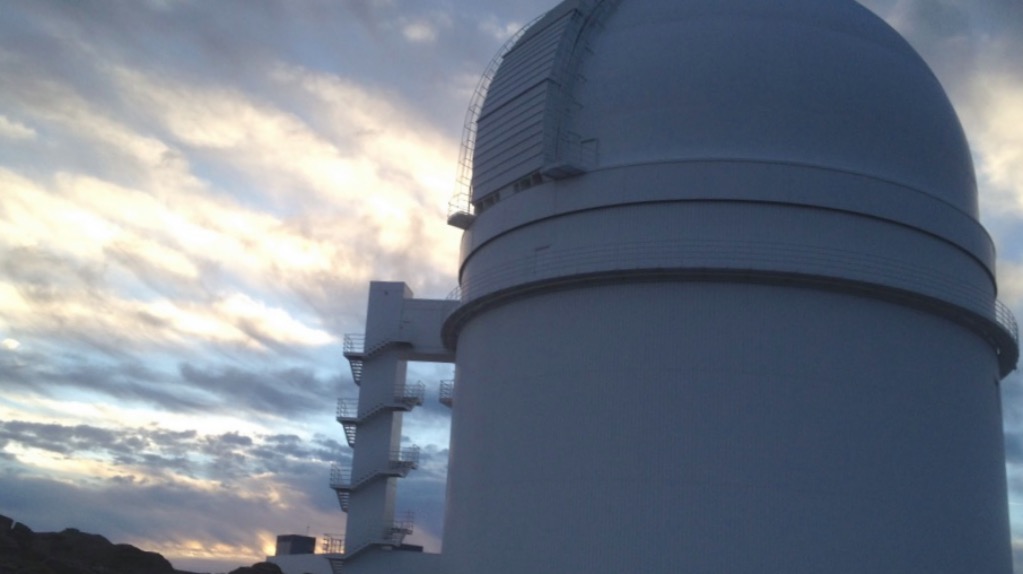
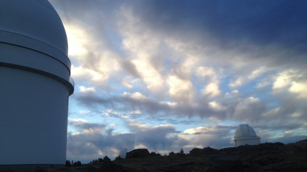
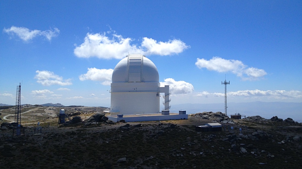
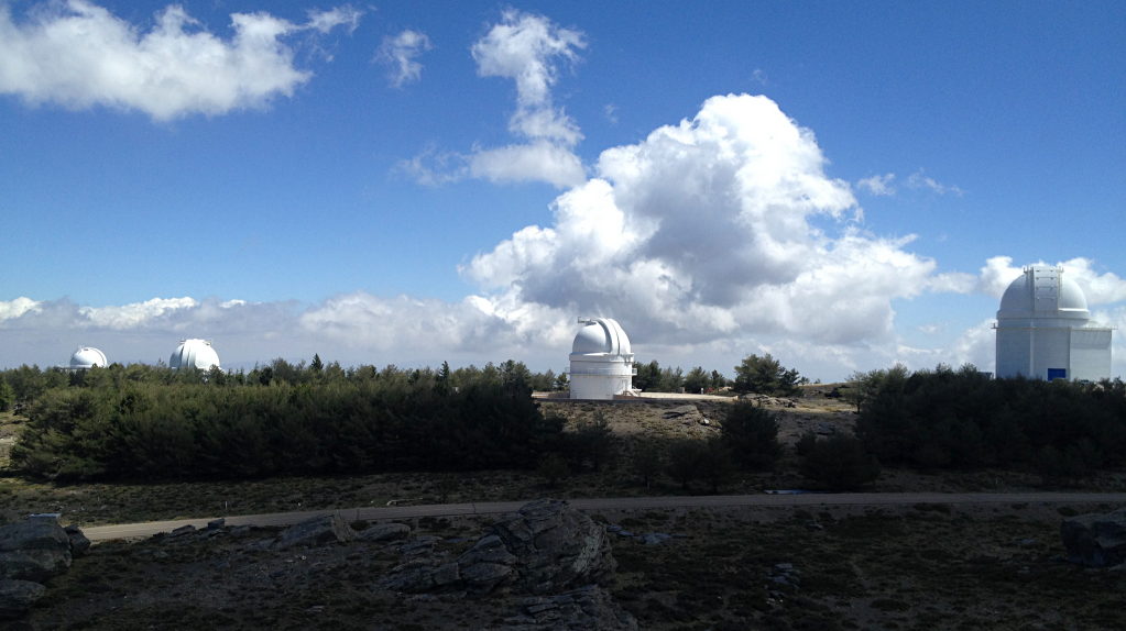
Calar Alto is a plateau on the highest peak of the Sierra de Los Filabres (2168 m). There is the observatory German-Spanish Astronomical Center (CAHA) that consist of five domes equipped with telescopes of 3.5 m, 2.2 m, 1.5 m 1.23 m and 0.8 m.
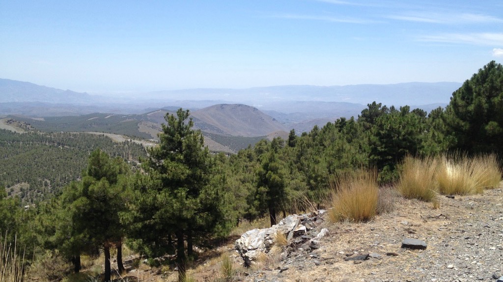
Our route starts at the Cortijo de Gema (730 m) along the road up to Olula de Castro. The first ramps place us at the high of Botines, to 930 m and 4 Km away. We coast one kilometer and we turn left at the fork indicated as Las Menas, Bacares and Serón. Begins a long and steep climb of 1.5 km which leads up to 1070 m to catch a false flat and then another sharp rise leads to the Hill of Crosses to 1430 m and 13.5 km long. We continue up the hill past the playground to the Merendera to 1880 m and 19 km routes, single point of our route where we can refuel water.
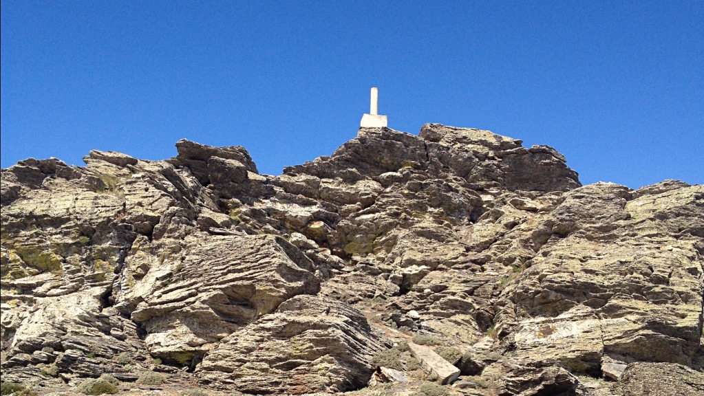
Since the source of Merendera lack little to reach the crest of the mountain that separates the two sides, the County of Los Filabres-Taverns where we come Almanzora Valley and beyond. Our route does not descend into the valley of Almanzora but take the left fork indicating Calar Alto. We are still a very steep ramps before reaching the Calar Alto at 2160 m altitude and 24 km traveled, having saved a height of 1440 m.
To return there are two alternatives:
- Back to where we climbed it. It is the good choice if you like to go down fast on asphalt.
- Crossing the plateau of Calar Alto and down the road Aulago. In this case, 2 km before reaching the highway of Granada we can take a dirt road that leads to Gérgal (nicer option) or reach the authorship and take the paved road that leads to service Gérgal.
- Duración: 3 horas y media, con bajada
- Distancia: Empieza en el Cortijo de Gema
- Dificultad: difícil por esfuerzo
- Tipo recorrido: Asfalto, ida y vuelta
- Longitud: 48 Km ida y vuelta.

